Guide
Cappadocia is bounded by the Kızılırmak to the north, Yeşilhisar to the east, the Hasan and Melendiz mountains to the south, Aksaray to the west and Kırşehir to the north-west. People have lived here without a break since the Chalcolithic period.
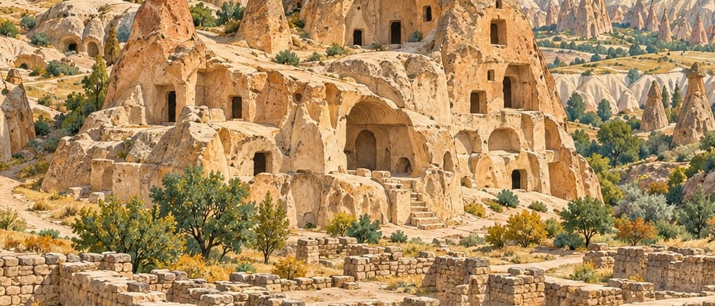
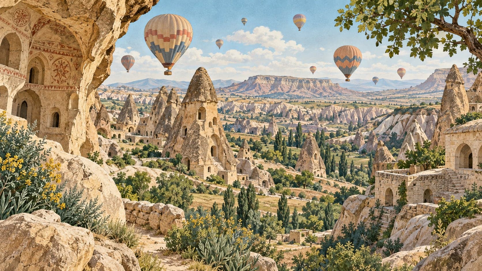
Two things explain that. The first is the rock: tuff thrown out by Erciyes and Hasan mountains, worn by wind and water into the shapes the region is known for. The second is what people did with it. Rooms cut into tuff stay warm in winter and cool in summer, so the carved interiors are comfortable in every season — a practical reason for settlement, not a scenic one.
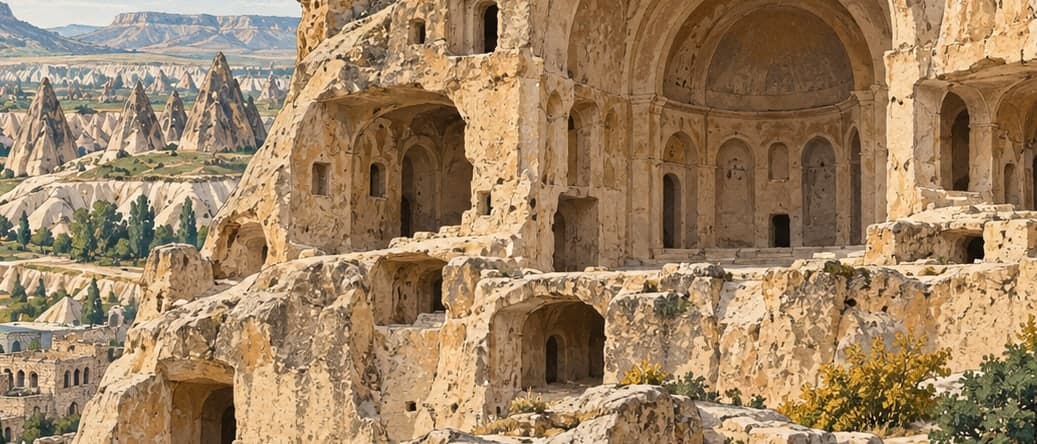
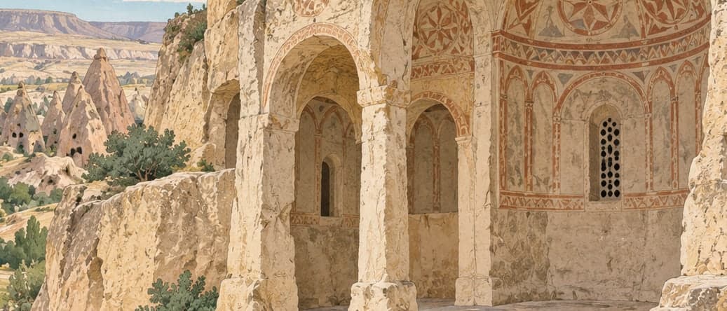
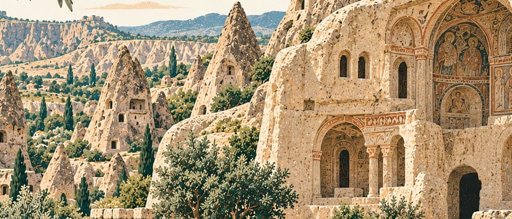
Between the seventh and thirteenth centuries Göreme in particular became an important centre of Christianity, settled by people escaping persecution, and the churches they cut into the rock are the reason the valley is read as a religious landscape as well as a geological one.
The World Heritage listing covers more than the open-air museum at Göreme. It also takes in the underground cities of Derinkuyu and Kaymaklı, the Karain dovecotes, Karlık Church, the Theodoros Church at Yeşilöz and the archaeological area of Soğanlı — separate places, some an hour's drive apart, under one inscription.