Guide
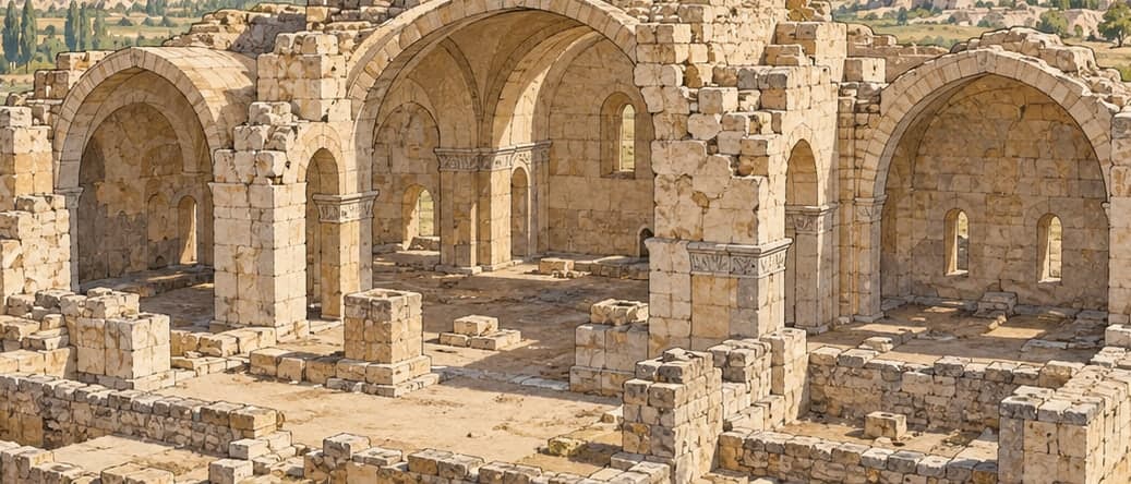
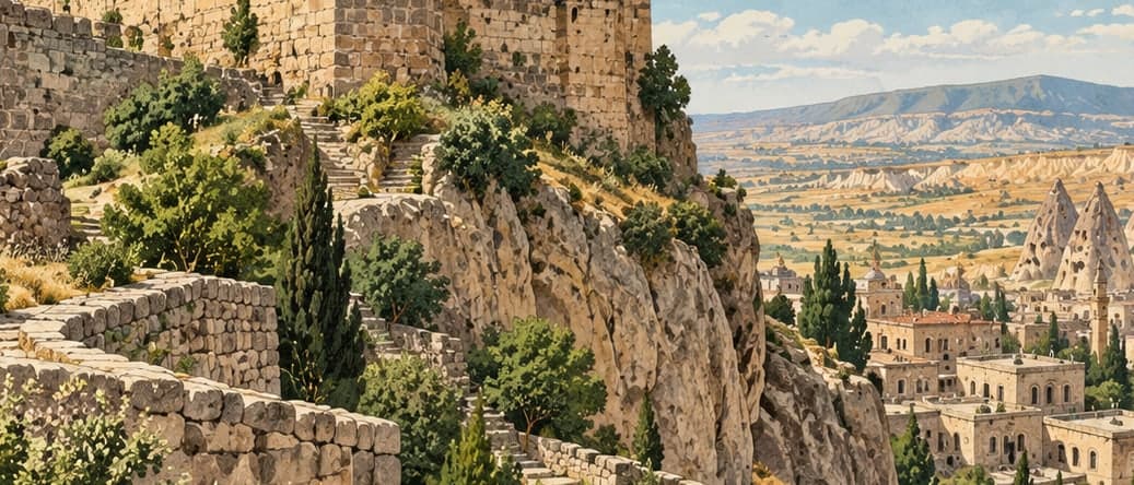
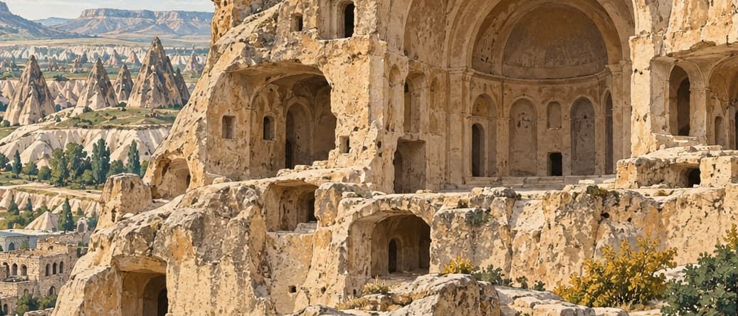
Tatlarin lies ten kilometres from the Acıgöl district of Nevşehir, cut into the flank of a hill the locals call the Kale, the castle. It was recorded in 1975 and opened to visitors in 1991. Churches once stood across the same hilltop, but most of them have collapsed through natural causes. The original entrance to the underground settlement is gone; two openings on the western side are used instead.
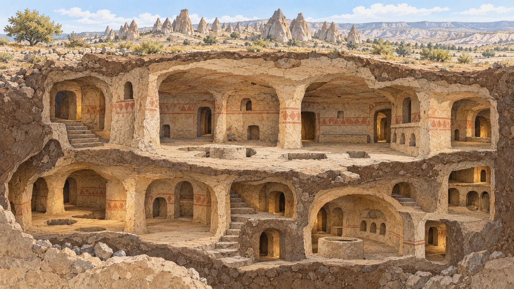
Only a small part of a much larger complex has been cleared, and two levels can currently be walked. The size of the rooms, the number of storerooms and the sheer quantity of churches led those who studied it to suspect that this was not an ordinary refuge village at all but a military garrison or a monastery. From the entrance a curving corridor fifteen metres long leads to a wide rectangular hall, its access controlled by a rolling stone a metre and a half across with the usual central hole. A niche on the right opens onto a space cut downwards that local people call the dungeon; three skeletons were found in it.
Off this main hall lie a pantry and kitchen, and a lavatory — the feature that most sets Tatlarin apart, since underground cities rarely have one. The niches in the pantry are identical to the niches in the Roman rock tombs of the surrounding area, which is why the space is thought to have served as a cemetery in the Roman period and only later as a store; the floors of the niches were cut away to make room for provisions. A narrow, curving, sloping passage on the left of the hall descends to a second broad room, where an L-shaped corridor again leads to a lavatory.
The underground church here has two naves, two apses and barrel vaults; its narthex has fallen. Its frescoes are unusually well preserved, with the scenes separated from one another by painted bands, dark grey on the floor and purple, mustard and red in the figures. The site is signposted from the village road at Tatların, in the Acıgöl district. The Ministry's page credits the account to the Governorship of Nevşehir.