Guide
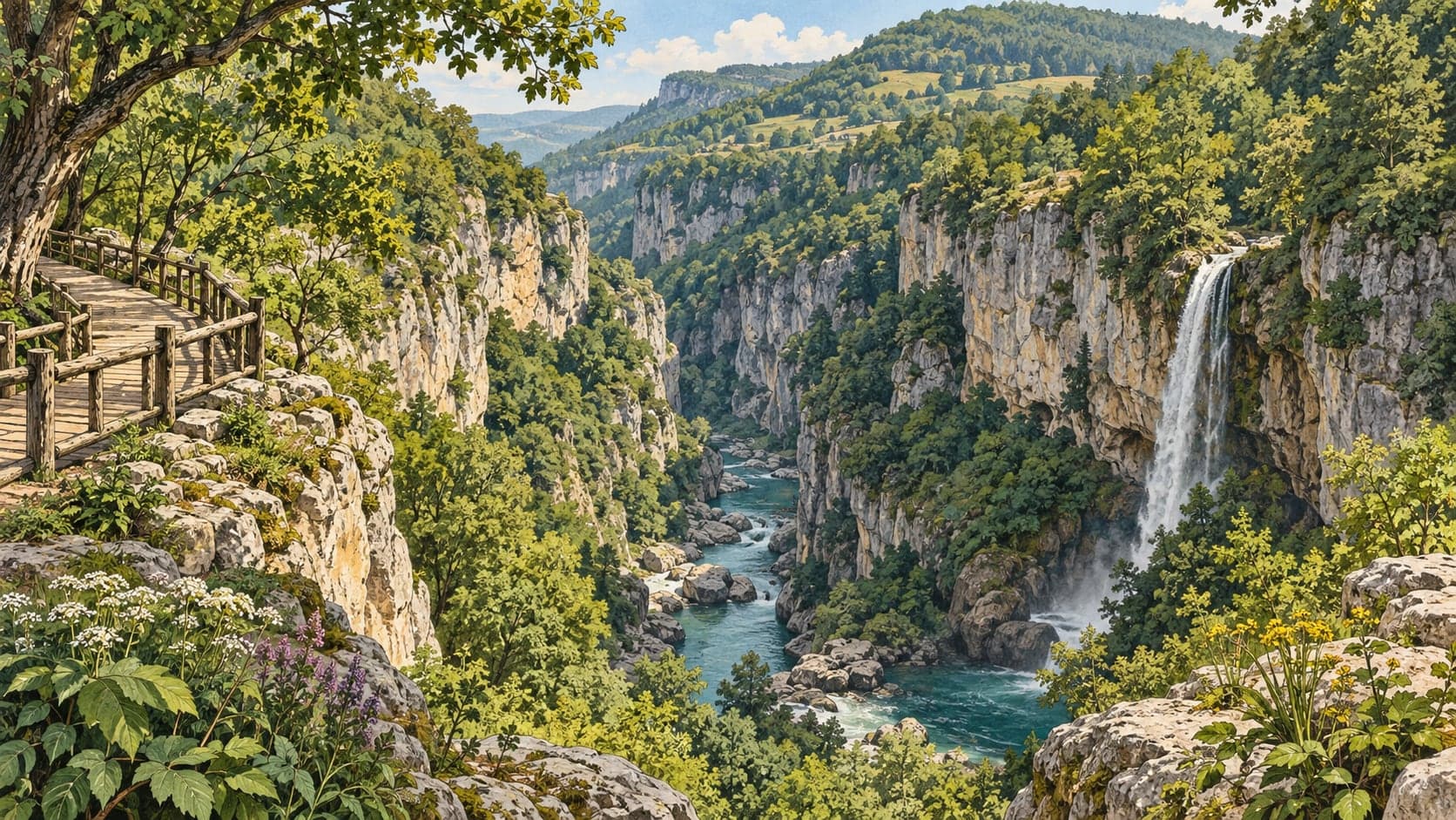
Çatak Kanyonu Tabiat Parkı covers 420 hectares in the Türkeli district of Sinop and was registered on 7 August 2017 for its natural assets and recreational potential.
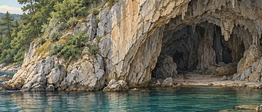
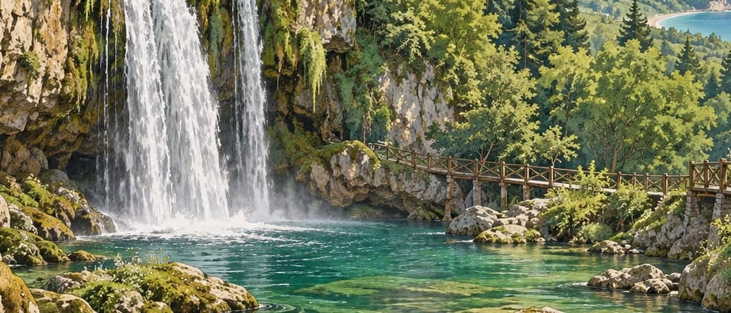
The ground here moves a great deal. Average height in the park is about 1,005 metres; the highest points, in the south-west and south-east, reach 1,611, and the lowest, in the north, drop to 420. Within that relief lie the canyon itself, 39 waterfalls, caves and karst formations.
Two roads lead in from Türkeli, and the difference between them matters. The first runs about 10 kilometres west from the town, then about 23 kilometres south on the Kavakören road to the park's northern boundary; it is asphalt until 1.5 kilometres short of the park and gravel thereafter. The second runs about 35 kilometres south from Türkeli to the north-western boundary, of which roughly 23 kilometres are asphalt and 12 gravel. Asphalt sections are about ten metres wide and gravel about six. There is no public transport to any part of the area.
Stated capacity is 500 visitors and 100 vehicles. The park is about 33 kilometres from Türkeli, and the nearest airport, Sinop, is some 88 kilometres away.
- Designated
- 7.08.2017