Guide
The Günpınar waterfall, also called Gürpınar, lies within the Darende district of Malatya, on the Şuhul stream, a branch of the Tohma.
The falls were once called the Aşudu falls, after the village nearby. When the village was renamed Gürpınar the falls took that name, and when the name became Günpınar they became the Günpınar falls.
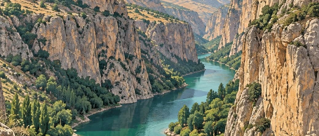
The falls developed on a break in gradient along a fault line. The Şuhul stream that makes them rises on Hezanlı mountain, and karstic springs two kilometres west of the falls form the stream itself. It runs through a canyon two kilometres long whose sides stand sixty metres high, and at the end of that canyon the water falls.
The fall comes in three steps from a height of twenty-five metres. The first drop is thirteen metres; the second, turned to the south at an angle of seventy degrees, is four metres; and the third, curving gently south at ninety degrees, is eight metres. In having three steps the falls resemble the Gürlevik falls. The flow is a cubic metre a second, and where the water lands it has cut a plunge pool a metre and a half deep and two and a half metres across.
The stream once carried more water; the flow has fallen since drinking water began to be taken from it for Darende. Ten kilometres beyond the falls the Şuhul joins the Tohma.
Because the Şuhul is fed by karstic springs its water is clear and its flow changes little through the year, rising somewhat in spring with the melting snow.
The falls lie 118 kilometres from Malatya and eight kilometres west of Darende, reached by five kilometres of surfaced road off the Kayseri–Malatya highway. Together with the canyon of the Tohma they make up the main draw for visitors to the Darende district.
- Designated
- 26.06.2018
Entry fee
- Black Sea group 3 · category 2 · Per person
- 50 ₺