Guide
Karahantepe stands on one of the limestone rises inside the Tek Tek Mountains National Park, 55 kilometres from the centre of Şanlıurfa. Before planning a visit, note that the Ministry's page lists the site as closed; it gives no reason and no date for reopening.
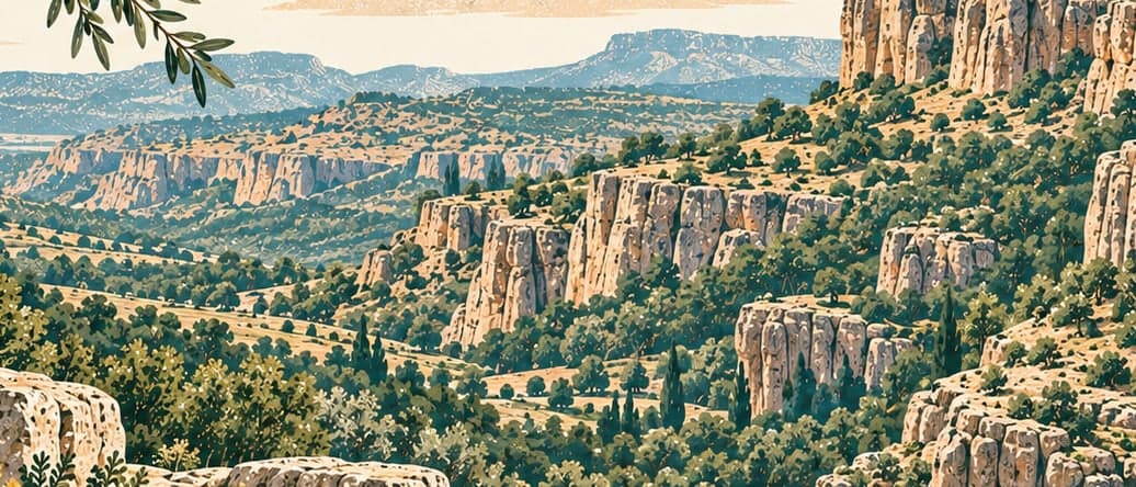
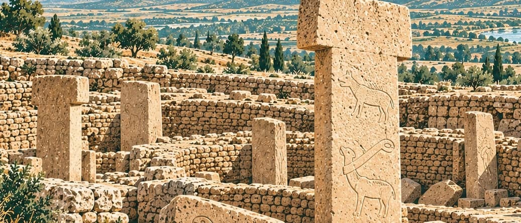
The Tek Tek range lies between the Harran and Viranşehir plains and reads as a low plateau some sixty kilometres long, reaching 761 metres above sea level at its highest point in the north and dropping below 500 metres as it falls away to the south. Its limestone rises in sheets, and at Karahantepe as at other sites of the same date that stone supplied both the building material and the raw material for the T-shaped standing pillars.
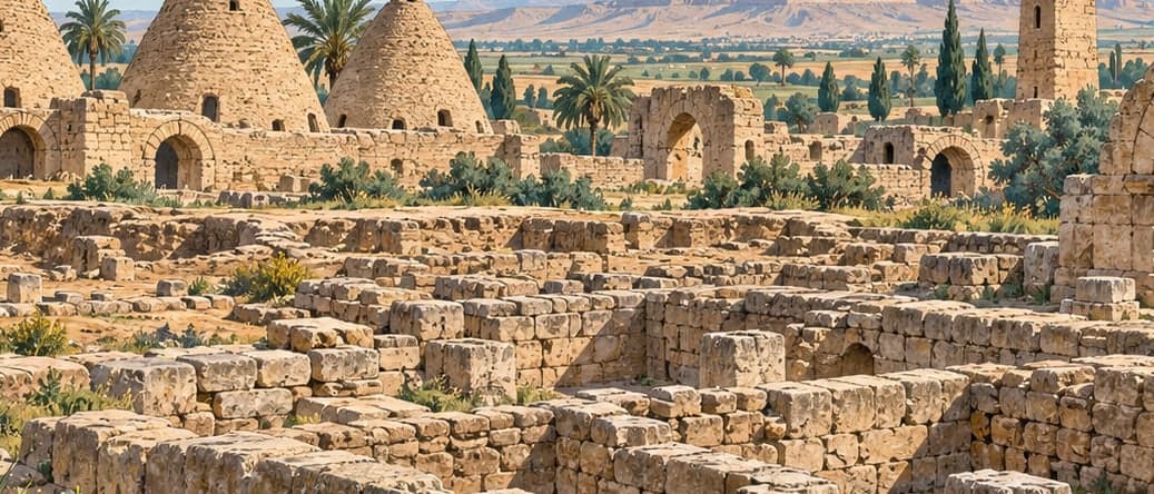
Surface survey and geomagnetic measurement indicate four distinct areas. The first two are the west and east terraces, where the tops of T-shaped pillars show at the surface and the way those stones are arranged makes it possible to pick out round buildings of varying size. A third, where no pillar-like remains appear at the surface and finds associated with dwellings such as grinding stones are concentrated instead, has been named the South Flat. The fourth is the quarries, on the terraces descending south and west from the western cone, where the beds the T-shaped pillars were cut from can be seen. These divisions rest largely on archaeological evidence collected from the surface, but the excavation team notes that the present topography and the shape of the bedrock confirm them. The address is Kargalı, 63290 Haliliye, Şanlıurfa.