Guide
Sakarya Meydan Muharebesi Historical National Park is not one continuous area but twenty-four separate parcels. The directorate explains why: when the boundary was drawn, settlements and private property were left out and only the ground where the fighting was heaviest was taken in. Anyone planning a visit should expect a scattered site across Polatlı and Haymana districts of Ankara province.
Its size has changed once. A Council of Ministers decision dated 29 December 2014, numbered 2014/7152, established the park at 13,850 hectares, published in the Official Gazette of 8 February 2015. A Presidential decision dated 20 March 2025, numbered 9639 and published the following day, revised the boundary and raised the area to 22,487 hectares.
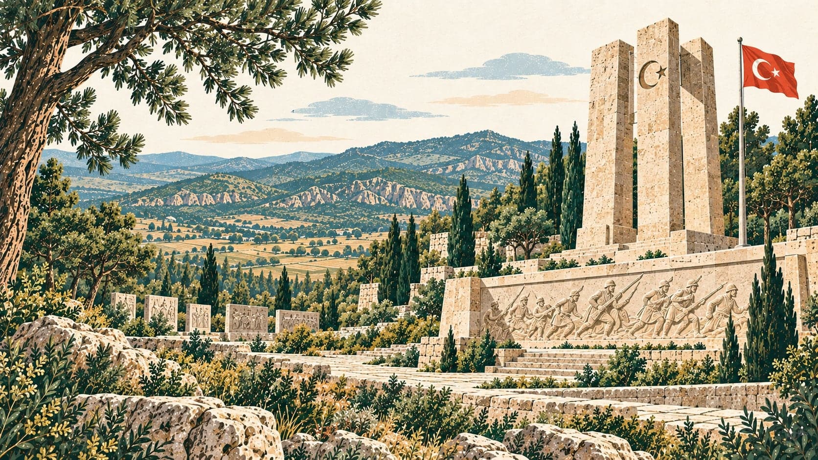
The directorate describes the battle fought here as the one that changed the course of the National Struggle, and calls it the longest pitched battle in world history.
Access is by private vehicle, on the Ankara-Eskişehir road or through Haymana. The Polatlı central section lies inside the town and is within walking distance of it. Both conventional and high-speed rail lines pass through the park's boundaries, and Polatlı has two rail routes with connections to the Ankara-Eskişehir, Ankara-İstanbul and Ankara-Konya high-speed lines; Haymana has no railway. The nearest airport is Ankara Esenboğa, 100 kilometres away. Opening hours are 10:00 to 17:00, with capacity for 2,000 visitors and 45 vehicles.
- Designated
- 8.02.2015