Guide
Pisidian Antioch lies about a kilometre north-east of Yalvaç in Isparta, in the Lake District where the Mediterranean, Aegean and central Anatolian regions meet. The city was built on sloping, partly rocky ground, with the Hisarardı road passing to its north and west and the Antiochos stream to its south-east. Its plan is irregular, and the building remains within it belong to the Roman and Byzantine periods.
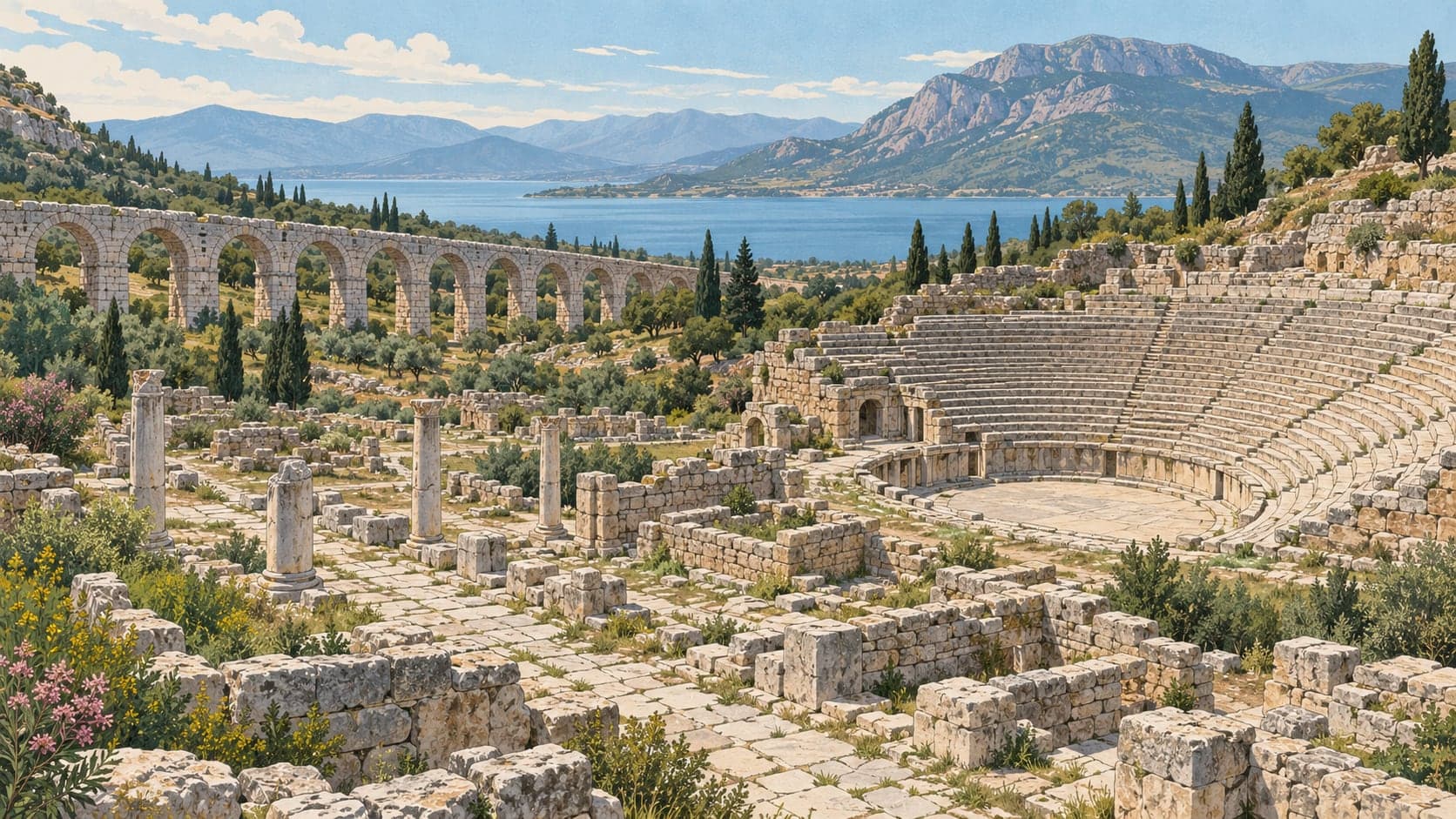
Excavation and survey have established the full line of the walls. The main city gate is on the west. To the north lie the remains of the aqueduct, the nymphaeum, the bath and the palaestra; at the centre are the theatre, the Tiberius square, the propylon and the precinct of the temple of Augustus. Near the Tiberius square stand the remains of a Byzantine church, and to the west those of a basilica. The aqueduct can still be seen partly standing on the north-east side.
The Ministry's page gives the excavation history in two slightly different ways, dating the first campaigns to 1914–1924 in one place and to 1920–1924, under American excavators, in another, with survey work in 1982–1983. Rescue excavation resumed in the 1980s, roughly fifty-six years after the American work ended, directed by the Museum Directorate with support from the Ministry and the local administration. Small-scale digging was carried out at the bath-basilica, the theatre, the nymphaeum, the west gate and its surroundings, along the Decumanus Maximus and the Cardo Maximus and at the street mouths running off them to east, west, north and south, and at the church of St Paul and the central church.
Places Paul visited and preached in are treated as pilgrimage sites, and the church of St Paul at Pisidian Antioch is one of them — which is why a good share of the people who come here are making a journey rather than a sightseeing trip. The site is on the southern slopes of the Sultan mountains just outside Yalvaç.