Guide
The Camili Biosphere Reserve is a basin of 27,152 hectares in the Borçka district of Artvin, taking in the village of Camili and six villages around it. On 29 June 2005 UNESCO admitted it to the Man and the Biosphere network as the first biosphere reserve in Türkiye; the Ministry of Agriculture had declared it a gene conservation area in 2001. Within it are two forest areas declared nature conservation areas by the Ministry of Forestry in 1998, the Maral waterfall and two important valleys. A therapy forest was opened on the site in 2024.
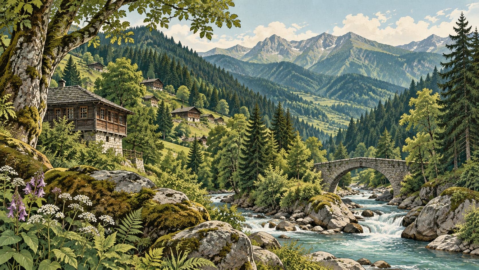
The basin is closed in by high mountains on the east, south and west, and lies 55 kilometres from the centre of Borçka. One side runs to the Turkish–Georgian border, and that part is designated a first-degree military prohibited zone; before 2004 the zone was 600 metres wide along the border, and a cabinet decision that year reduced it to 100 metres. The land rises from 350 metres at Camili village to 3,414 metres at Karçal Tepe, and the mountains are deeply cut by streams into hills, valleys, ridges and slopes: about 88 per cent of the ground inside the reserve is steep, sheer or very sheer. Two streams meet at Camili and flow on into the Çoruh.
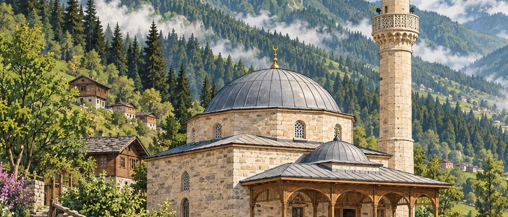
The area was divided by a vote. In 1921 a referendum was held in the eighteen inhabited villages of what was then called the Maçahel region; twelve villages remained in the Soviet Union and six — Camili, Maral, Düzenli, Efeler, Kayalar and Uğurlu — in Türkiye. The Turkish part of Maçahel came to be called the Camili basin, after the village that serves as its centre. The villages are scattered settlements of quarters made up of a few houses each, five to twenty minutes' walk apart, set on the flats within the valleys, on gentle slopes and ridges and on landslide terraces; the south, south-east and south-west slopes were the ones chosen to build on.
Sixty-five per cent of the reserve is forest, and 990 plant taxa have been recorded in it, from 110 families and 432 genera; 953 are seed plants and 37 ferns, 145 have medicinal or commercial value, and 23 are endemic. The valley floors are covered entirely in alder, which grows into forests seven or eight metres high in three to six years. One of the two protected forests, of 1,453 hectares, is many-layered and fully closed, mixed and dominated by broadleaved species, above all oriental beech, with hornbeam, lime, Anatolian chestnut and maple in places; the other, of 490.5 hectares, holds oriental spruce, oriental beech and maple of monumental size. A 150-year-old oriental fir here reaches 33 to 35 metres on average, and some have been measured above 40.
The reserve is habitat for the Caucasian honey bee, the brown bear, the Caucasian viper, the chamois, the Caucasian salamander and the red-spotted trout. Among the species under threat living here are bear, roe deer, red deer, badger, wildcat and lynx; the Caucasian and Baran's vipers; Clark's and Caucasian lizards; and the black ghost and Caucasian emerald butterflies. The basin lies on the migration route of birds of prey, and hazel grouse, middle spotted and white-backed woodpeckers, the moustached warbler, the barred warbler and the collared flycatcher are often seen.
When to go
The basin is wet and humid in all four seasons, with an annual average of 1,564 millimetres of rain, falling most heavily in winter and autumn. The yearly average temperature is 11.9°C, but winter drops below freezing and the snow reaches two to three metres in places; there are spots where it does not clear until the end of May.