Guide
Ayvalık Islands Nature Park takes in nineteen of the Ayvalık islands, within the Ayvalık district of Balıkesir. It was created by a decision of the Council of Ministers dated 21 April 1995 and covers 17,950 hectares in all: 1,179 hectares of treasury land, 1,930 of forest, 872 of private property and 13,969 of sea.
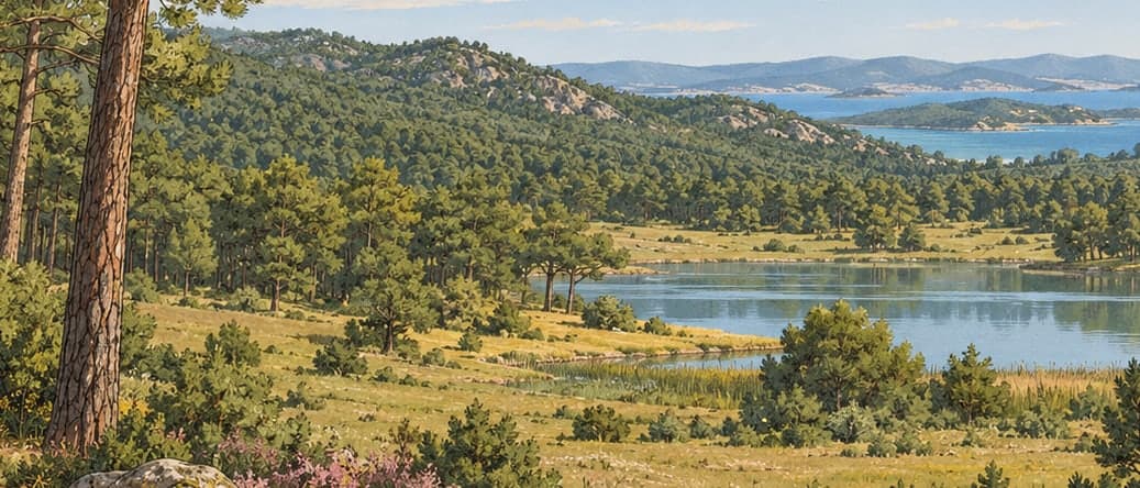
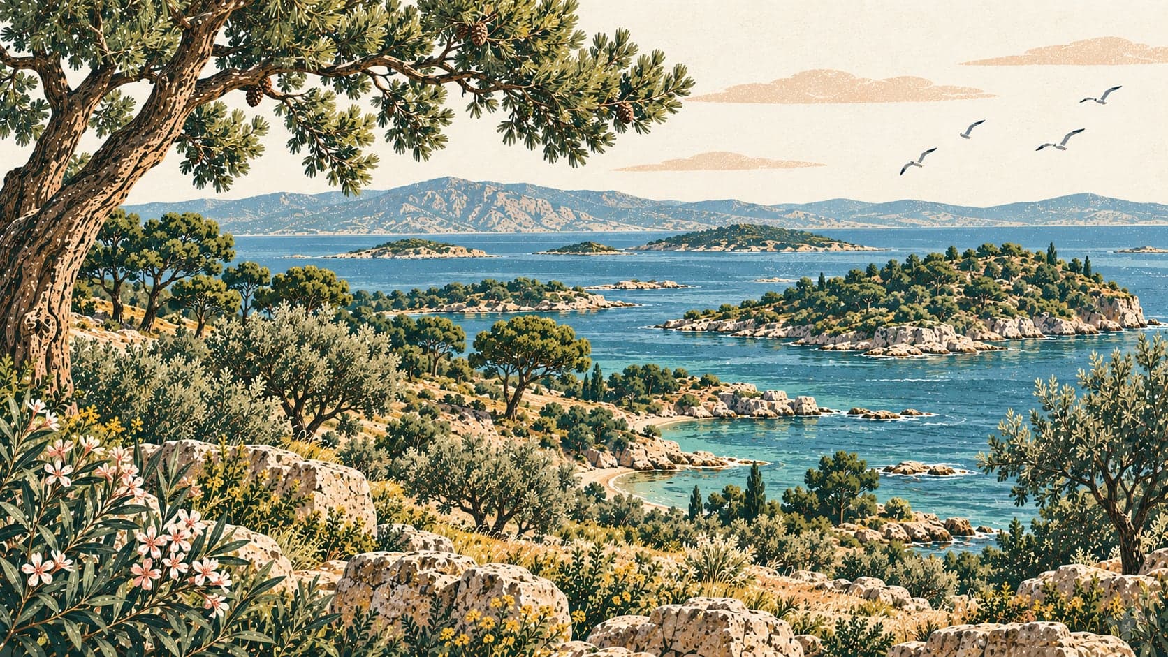
The islands ringing the coast of Ayvalık give the water the look of an inland sea and make the shore a sheltered bay. The islands and the sea around them are the chief feature of the park's landscape.
Seven hundred and fifty-two plant species grow here, some of them aromatic and five endemic. A survey of the marine part of the area recorded 671 species. The sea temperature runs from five degrees in winter to twenty-seven in summer, with salinity between 31.0 and 39.0 practical salinity units.
The park draws visitors for its history and its cultural remains, for the traditional building that has come down undisturbed, for the restored monasteries and churches, for its beaches and bays, for the variety and beauty of its underwater life, which suits diving, and for boat tours among the many islands.
The islands within the park are Cunda, also called Alibey, along with Çıplak, Pınar, Yellice, Güneş, Kız, Maden, Küçükmaden, the eastern and western Yumurta islands, Kara, Balık, Hasır, Güvercin, Taşlı, Yalnız, Yelken, Yuvarlak and Göz.
The main problems seen in the area are pollution from farming, illegal fishing, heavy use of groundwater, unplanned tourism, the discharge of urban waste water into the sea, the destruction of wetlands and the release of animals onto the islands. Building in the settlements around has reached a point where it threatens the protected area.
- Designated
- 21.04.1995
Entry fee
- Marmara group 1 · category 1 · Per person
- 85 ₺