Guide
Hippou Köme lies on the western edge of Lycia, in the mountains running inland from the coast, at what are now the Çukurasar and İnhisar localities. It is named in Hellenistic inscriptions and in ancient writers, and it raises real questions about the historical geography of Lycia.
The name means the village of the horse. An ancient explanation ties it to an incident: a party of travellers lost their horse here, and the settlement was called after it. Stephanus of Byzantium gives that account, describes the place as a small village and calls its people the Hippokometai.
The oldest written record of it is the bath inscription found at İnhisar by Heberdey in 1898, now lost. That text shows the settlement had a boule and a demos — a council and a citizen body — and therefore an urban form of organisation.
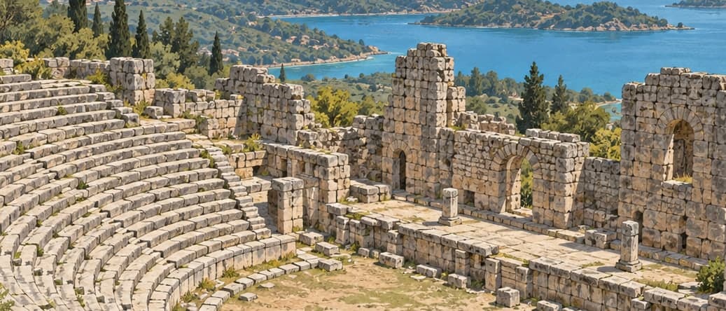
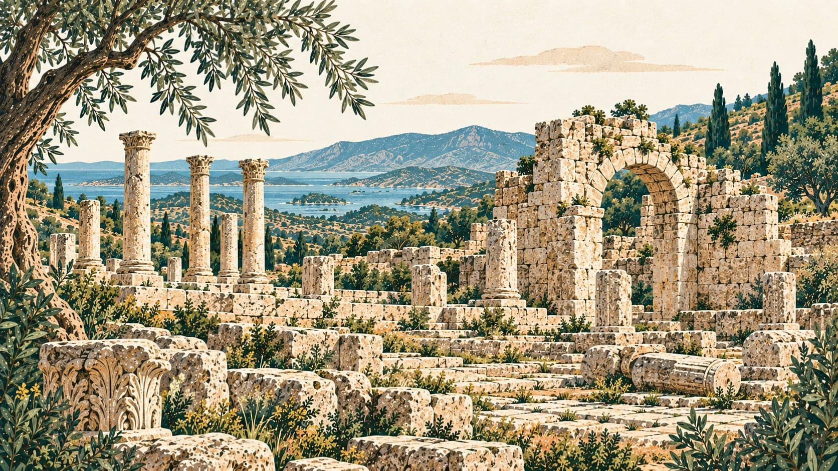
Where the centre actually stood is still argued from distances. Archaeological work now points to Çukurasar: the remains there carry traces of city life and the inscriptions found among them mark it as a political and social centre. The Patara road monument names Hippou Köme in connection with Lyrnai and Symbra, but the roughly 24 kilometres it gives between Symbra and Hippou Köme does not match the 19 kilometres between İnhisar and Symbra today, whereas the distance to Çukurasar fits better. İnhisar, meanwhile, has sacred buildings and inscriptions that suggest a cult site used for religious ceremony — the bath inscription there has been assigned to the sanctuary of the Loandan gods — and its structures are mostly tombs, with little to show of urban settlement.