Guide
Honaz Dağı in the Honaz district of Denizli was declared a national park by cabinet decision on 30 March 1995, and its boundaries were extended by a further decision on 3 April 1998. It covers 9,429 hectares, and its first long-term development plan came into force on 3 September 2009.
Its plant life is what the Directorate dwells on, and the reason is geographical. The Büyük Menderes river runs along the north of the park and the wide Menderes plain lies on either side of it, carrying the Mediterranean climate and its vegetation eastward as far as Honaz Dağı, while Irano-Turanian steppe elements arrive from central Anatolia in the other direction. The mountain is therefore the boundary where Mediterranean vegetation meets the steppe plants of the interior. Of 964 plant species recorded inside the park, 122 are endemic to Türkiye. Three of those — Lamium microphyllum, Verbascum crysorhacos and Crocus baytopiorum — grow only on Honaz Dağı, and two more occur only here and on Babadağ. On 17 November 1995, during a survey on the mountain, Prof. Faik Yaltırık established that the Vulcan oak and the Turkish oak grow on the slopes of the Karanlıkdere valley, which had not previously been recorded here.
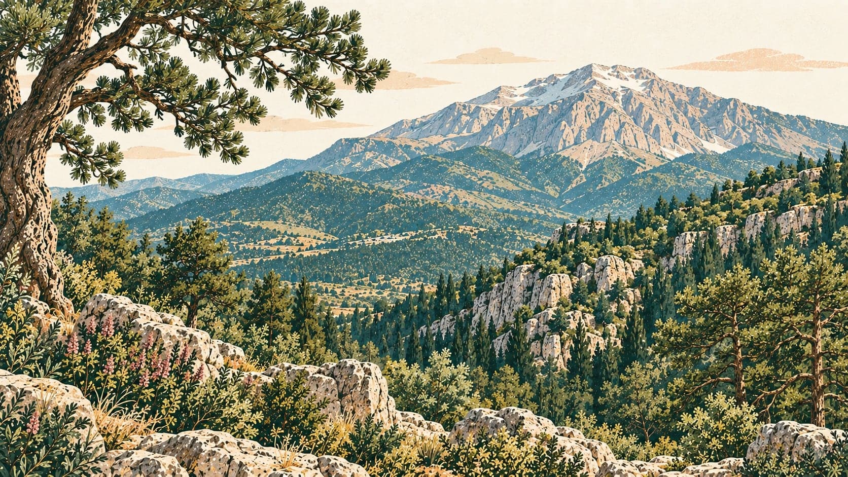
North and south faces are different mountains to look at. The northern slope opens completely onto the Menderes plain and rises abruptly from 500 metres in steep faces and deep valleys; it is covered in evergreens, with kermes oak and Calabrian pine at the lower levels, black pine above 950 to 1,000 metres and Greek juniper and stinking juniper generally above 1,700. The southern face is also steep but descends gently to plateaus at 1,200 to 1,300 metres in the south-west, and is partly treeless and stony, its woody plants scattered as shrubs — so that it reads as bare ground stippled with green clumps. Around 2,000 metres on the southern slopes are dwarf juniper, milk-vetch, snow thorn and hedgehog cushion plants together with evergreens such as bay. The park also holds old and monumental trees: dense or open forests of Greek and stinking juniper on the eastern, northern and western sides, and black pines of monumental size between 1,700 and 2,000 metres and on the slopes above the Teke stream.
The Directorate describes the fauna as extraordinarily rich without giving counts, and attributes it to the range of ecosystems between the foot of the mountain and its summits together with the area's hydrology and landforms.
Because the mountain rises to 2,500 metres over a short distance from the plain, it suits paragliding, which is practised between Honaz Dağı and the Serinhisar district and between Çökelez Dağı and the Pamukkale archaeological site. The northern ascent route is well suited to mountain biking and walking, and there are paths through the park for hiking. The day-use area has a country café, a kiosk and a children's playground, and is used for picnics; the park is busiest for picnicking in spring and summer. The park is reached by road at four points: from the Kale locality in Honaz and from Ovacık village by gravel road, from Aydınlar village by rough track, and from Cankurtaran on the Denizli–Muğla road by asphalt.
- Designated
- 21.04.1998
Entry fee
- Aegean group 3 · category 1 · Per person
- 65 ₺