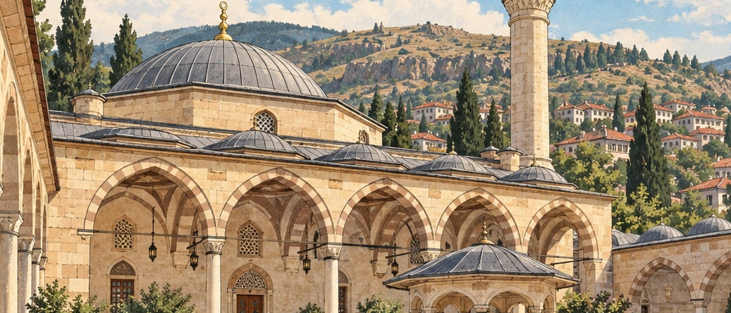
Yozgat sits in the middle of Anatolia with Sivas to the east, Kayseri and Nevşehir to the south, Kırşehir to the south-west, Kırıkkale to the west and Çorum, Amasya and Tokat to the north. Its area is 13,597 square kilometres measured in projection, and 14,037 measured as it actually lies — a difference that is itself a description of the terrain.
The city is young. The provincial centre was founded in the 16th century AD and enters the records around 1560 under the name Bozok, given by the Bozok Turkmens who were settling here at the time. The name Yozgat was conferred by a decision of the Grand National Assembly in 1927.
A young centre does not mean an empty province. Research has established settlement here from the Chalcolithic onward, and the region has been lived in from very early times down to the present.